
1
Align & Frame
We work directly with your product, operations, or research leads to clarify user workflows, data realities, and measurable commercial outcomes.
OUTPUT: Clear Scope & Architecture
We partner with ambitious enterprises, innovators, and research leaders to design and ship custom web platforms, source-verified AI, interactive 3D digital twins, and satellite analytics built for real-world scale.











Most organisations have to choose between high-level advisors who stop at slide decks and generalist dev shops that struggle with complex data, AI accuracy, or spatial physics. We bring product strategy, full-stack cloud engineering, applied AI, and remote-sensing science together in one focused team.
Every knowledge workflow is engineered with source-span verification and evaluation benchmarks so teams get reliable answers instead of guesswork.
From all-weather radar crop and carbon models to award-winning SaaS products and real-time computer vision in major stadiums.
Years Shipping Enterprise, AI & Geospatial Systems.
Direct collaboration with senior engineers, rapid cloud milestones, and full transparency at every stage.
We work directly with your product, operations, or research leads to clarify user workflows, data realities, and measurable commercial outcomes.
Within roughly two weeks, we put an interactive, cloud-hosted prototype in front of real stakeholders to validate UX and data flows early.
Every sprint passes automated end-to-end QA, security checks, performance profiling, and AI accuracy benchmarks before release.
We deploy cleanly on auto-scaling cloud infrastructure and hand over well-documented repositories, runbooks, and team enablement sessions.
Fast, intuitive, high-concurrency web applications, customer portals, and Progressive Web Apps engineered from the ground up around your business model and users.
Production AI assistants, document intelligence, and computer-vision pipelines engineered with deterministic evaluation gates so every output is accurate and traceable.
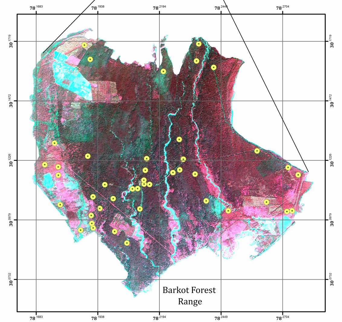
Multi-sensor radar (SAR / POLInSAR) and optical satellite analytics powering forest carbon measurement, precision crop yield gains, mineral mapping, and climate risk intelligence.
High-framerate WebGL, Babylon.js, and interactive mapping platforms that bring complex 3D assets, masterplans, and geospatial datasets straight into any standard web browser.
Eliminate manual spreadsheet chasing and inbox bottlenecks with structured intake portals, AI document extraction, audit-ready ledgers, and clean ERP/CRM integrations.
Senior Principal Architects and Forward-Deployed Engineers embedding directly with your leadership and product teams to unblock hard technical roadmaps, ship working AI tools, and upskill internal staff.
How our hands-on engineering model compares with traditional consultancies and generalist agencies.
| What Matters Most | Large Legacy Consultancies | Typical Dev / AI Agencies | Ashiyana Space |
|---|---|---|---|
| Time to Working Product | Months of discovery decks before engineering starts | Quick demos that struggle under real production load | Working cloud staging in ~2 weeks, built on production foundations |
| AI Accuracy & Trust | High-level AI strategy slides without hands-on tooling | Generic chatbot wrappers prone to hallucinated facts | Verifiable retrieval pipelines with strict source citations & evals |
| Cross-Domain Capability | Siloed teams across web, AI, 3D, and geospatial | Web-only or narrow single-stack capability | Unified software, applied AI, 3D digital twins & satellite analytics |
| Who Works on Your Project | Sold by senior partners, handed off to junior analysts | Filtered through non-technical account managers | Direct collaboration with Principal Architects & Practice Leads |
| Code Ownership & Handover | Proprietary accelerators & expensive multi-year lock-in | Inconsistent documentation & brittle handoffs | Full IP clarity, clean repositories, automated tests & team training |
Explore how our engineers and scientists solve complex challenges across cloud spatial AI, workflow automation, live computer vision, and Earth observation.
 Innovate UK R&D Backed
Minutes — Down from days for 3D spatial scene preparation
POLInSAR & Multi-Sensor Radar
POLInSAR — Coherence-based canopy height & biomass inversion
 SXSW Best in Show • Commercial IP Exit
$2M+ USD — Commercial beta sales across global customers
 2× Cannes Lions Gold • One Show Pencil
99.9%+ — Live matchday uptime under peak crowd spikes
ESA • WWF • Bayer Ecosystem
+30% — Crop yield improvements in monitored deployments
 Open-Source AI Evaluation Suite
Claim-Level — Sentence-by-sentence verification against sources

Practical deep dives from our team on trustworthy enterprise AI, radar remote sensing, browser 3D digital twins, and modern cloud delivery.
Why standard vector RAG still fabricates 5–18% of nuanced details—and how hybrid search plus automated claim verification achieves traceable accuracy.
How polarimetric interferometric radar (POLInSAR) and the Inverted Water Cloud Model see through cloud cover to quantify forest carbon and canopy structure.
Why embedding senior architects directly alongside operational teams outperforms sequential slide-deck handoffs—turning strategy into working software in weeks.